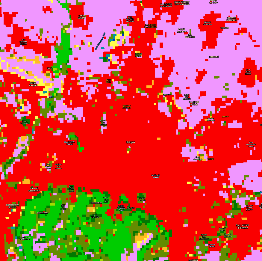
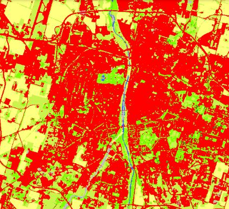
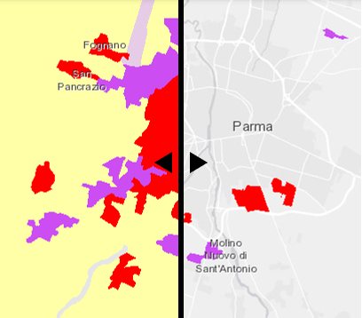
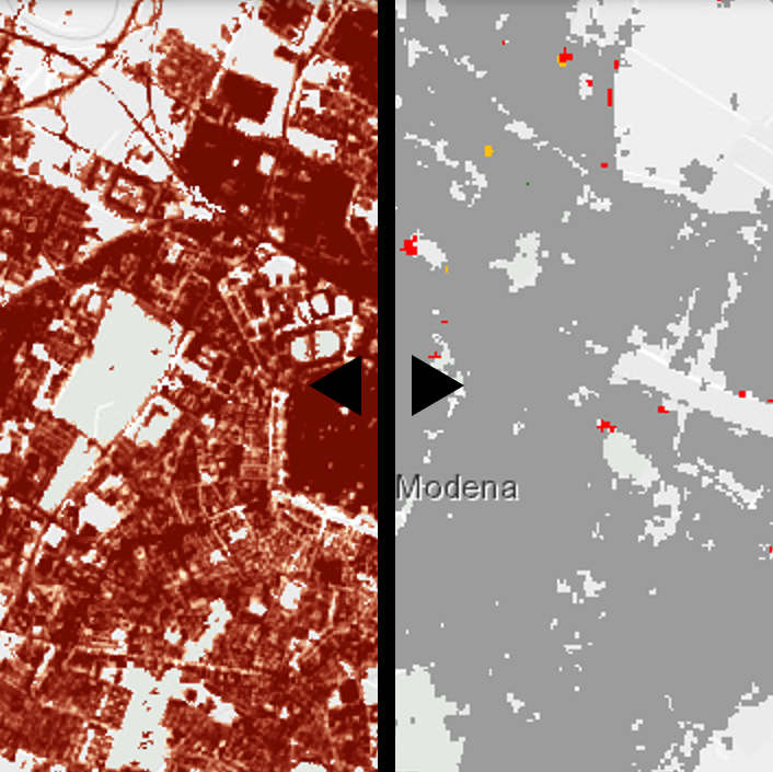
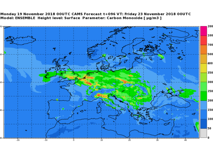
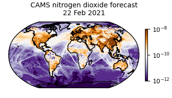
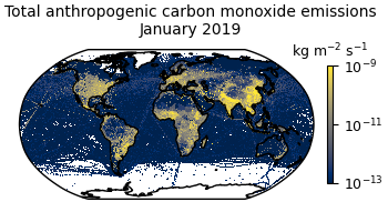
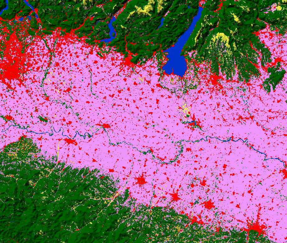
Cartella immagini https://geoportale.regione.emilia-romagna.it/copernicus/dataset/cartella-immagini https://geoportale.regione.emilia-romagna.it/@@site-logo/2025-RER-IDENTITA-VISIVA_logo_mobile.png Cartella immagini Copernicus Global Land Service – Land Cover.png CLC+ Backbone.png CORINE Land Cover e CORINE Land Cover Change.png Imperviousness.png CAMS European air quality forecasts.png CAMS global atmospheric composition forecasts.png CAMS global emission inventories.png Copernicus Global Land Service – Land Cover.png Copernicus Global Land Service – Land Cover.png Copernicus Global Land Service – Land Cover.png
Cartella immagini https://geoportale.regione.emilia-romagna.it/copernicus/dataset/cartella-immagini https://geoportale.regione.emilia-romagna.it/@@site-logo/2025-RER-IDENTITA-VISIVA_logo_mobile.png Cartella immagini Copernicus Global Land Service – Land Cover.png CLC+ Backbone.png CORINE Land Cover e CORINE Land Cover Change.png Imperviousness.png CAMS European air quality forecasts.png CAMS global atmospheric composition forecasts.png CAMS global emission inventories.png Copernicus Global Land Service – Land Cover.png Copernicus Global Land Service – Land Cover.png Copernicus Global Land Service – Land Cover.png


